I recently had the pleasure of navigating a skipper tag boat from Sausalito to Half Moon Bay and back for a great friend. I must say that it was a pleasure to, once again, be involved in the educational process of Club Nautique.
My basic principles of navigation were reinforced on several occasions. I’ll focus on a few relevant ones and their application this past weekend.
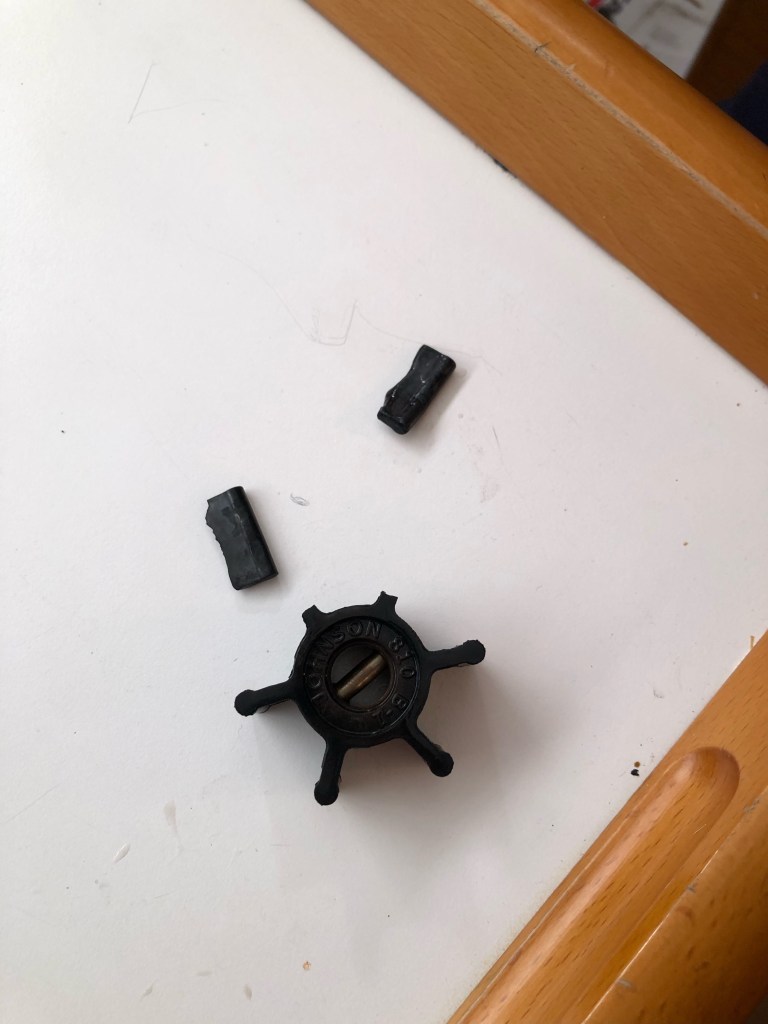
Navigate for safety first. Security of location or ease of transit comes second. Speed or improvement of ETA takes a back seat. This was quite relevant from the outset. For example, the navigator and skipper on the class boat we were to follow had proposed a course 1.5nm from the Duxbury reef buoy. This choice seemed to be for security so as to have a waypoint rather than a 20nm crossing farther off shore without such. What they didn’t realize is a course farther off shore would have been safer, away from the reef, away from shoal water, and away from the lee shore. In addition, the distance off of several points by radar would have provided accurate fixes during the journey. Predicted swells of 6-8 ft and 24 kn winds on the port bow demand that one plot a course away from coastal dangers. As fate would have it, our tag vessel blew an impeller as we approached the GGB and we had to turn around and plan to join the school body the next morning. Had we continued, we would have certainly lost our engine due to overheating somewhere along the coast and possibly been unable to motor off the lee shore. It could have been a disaster! A boat in the rocks and five men in the water. Or in a life raft if we’re fortunate.

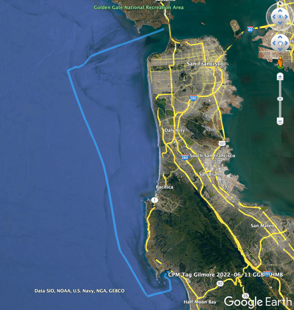
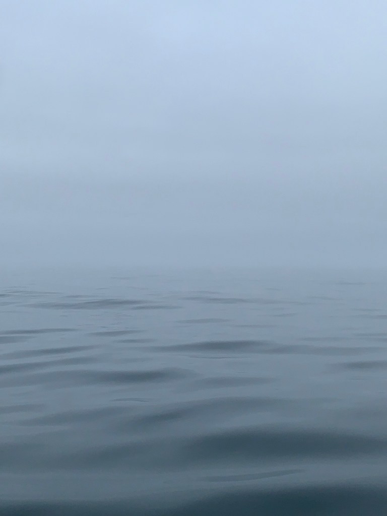
The next day we set out to tag along on a different sailing vessel. Visibility ranged from about 25-50 meters up to one nautical mile. We never saw the vessel we were tagging along except by radar.We ensured that we stayed well clear of aids to navigation, passing the on the lee side when necessary, and we diligently worked to identify each by radar as we advanced toward them. Safety first. Even if it means distance off or the long way around a safe water mark.
It’s important to determine where one thinks he or she might be and to confirm in some way. If the fix is different than expected it’s critical to examine why and to make a plan going forward. For example, set by the N to S ocean current seemed greater than usual. Once it was noted, we corrected as needed, and proceeded as planned with minor adjustments given it was easy to determine where we would be if er maintained course and speed. On this voyage, where visibility was limited, radar proved to be a useful tool in order to see through the fog, obtain range and approximate bearing for objects, distance off, and for collision avoidance, etc.
I’ve seen innumerable examples of sailors and crew ignoring compass error. I strongly advise determining compass deviation and employing the data when deciding a course to steer. We found deviation of up to 6 degrees on some headings on the vessel we sailed. We incorporated the corrected courses to steer for two days underway and found that our arrivals were as expected except then we realized the set and drift of the ocean current required us to alter course to correct for such.
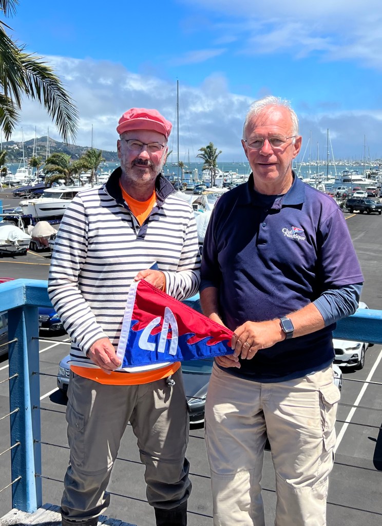
In all, was a pleasure to sail with a very experienced crew. The collective wisdom of this group was beyond measure. We worked well as a team. Our leader passed his tag sail and is now a certified skipper in the US Sailing program. Congratulations John!

I am so proud to realize that MSD has become LSD. 🙂 It sounds like a very eventful weekend. I remain jealous.
LikeLiked by 1 person